
Zoom Earth is a premier interactive weather map application that provides real-time tracking of hurricanes, storms, and severe weather conditions. The app offers near real-time satellite imagery updated every 10 minutes, allowing users to monitor wildfires, smoke, and current weather patterns effectively. With its stunning global forecast maps, Zoom Earth delivers continually updated visualizations using the latest data from DWD ICON and NOAA/NCEP/NWS GFS models.
The application supports comprehensive weather forecasts including precipitation, wind speed, temperature, and atmospheric pressure. Users can customize settings such as temperature units, wind units, and time zones. Additionally, Zoom Earth Pro offers enhanced features through auto-renewable subscriptions, providing advanced tools for monitoring and analyzing weather phenomena across the globe.
Zoom Earth stands out with its rich feature set tailored for weather enthusiasts and professionals alike. One of its key features is the interactive weather map which includes rain radar and nowcast functionalities, offering instant short-term weather forecasts based on Doppler radar data. This allows users to stay ahead of storms by accessing real-time updates on rain and snow.
The app also excels in hurricane and wildfire tracking. Its best-in-class tropical tracking system provides clear and easy-to-understand information about hurricane development up to category 5, utilizing the latest data from NHC, JTWC, NRL, and IBTrACS. Furthermore, the active fires overlay helps monitor wildfires by displaying high-temperature points detected by satellites, updated daily with data from NASA FIRMS. These features collectively ensure users are well-equipped to track and respond to critical weather events.
When it comes to weather applications, the accuracy of forecasts and the credibility of data sources are paramount. Zoom Earth excels in these areas by providing continually updated weather forecast maps with the latest model data from reputable sources like DWD ICON and NOAA/NCEP/NWS GFS.
The app offers a suite of forecast maps covering precipitation, wind speed and gusts, temperature, 'feels like' temperatures, wet bulb temperatures, relative humidity, dew point, and atmospheric pressure. This comprehensive coverage ensures that users have access to detailed and reliable weather predictions tailored to their specific needs.
By sourcing its data from established meteorological organizations and satellites such as NOAA GOES, JMA Himawari, and EUMETSAT Meteosat, Zoom Earth guarantees that its satellite imagery and weather forecasts are not only timely but also highly accurate. Users can make informed decisions based on trustworthy information regarding developing weather conditions.
Ultimately, the precision of Zoom Earth's forecasting tools empowers users to stay prepared for upcoming weather events, whether they're monitoring potential hurricanes or planning daily activities around local weather patterns.
A robust weather application must offer extensive temporal and spatial forecast ranges, enabling users to plan effectively for both immediate and long-term weather phenomena. Zoom Earth stands out by delivering an impressive breadth of forecasting capabilities across different timeframes and geographic locations.
With updates every 10 to 15 minutes from geostationary satellites and twice-daily updates from polar-orbiting satellites, the app provides near real-time satellite imagery. This frequency ensures that users receive current and actionable weather intelligence without significant delays.
Zoom Earth's global reach allows users to explore interactive weather maps detailing rain, wind, temperature, pressure, and more, no matter where they are located. The ability to view high-definition satellite images alongside Doppler radar nowcasting adds another layer of depth to spatial analysis.
This expansive temporal and spatial coverage equips users with the insights needed to track severe weather systems, monitor wildfires, and understand broader climatic trends, all through a dynamic and user-friendly interface.
Real-time weather updates
Interactive global maps
Detailed hurricane tracking
Wildfire monitoring system
Customizable user settings
Premium features require subscription
Limited free content access
High data usage for imagery
Occasional update delays
Complex for beginners

Live local weather updates: various widgets & radar maps & hourly forecast.
 4.70
4.70
Live Weather Forecast app with acu weather radar, weather alert & weather widget
4.80
Weather for Indiana, Kentucky and Ohio
4.90
An unofficial app version of the National Weather Service (Weather.gov)
3.90
Dynamic weather watch face with glass effect, bold time & 7 complications.
4.0
The moon phases app for tracking the lunar calendar, blue moon and full moon.
4.80
Local weather forecast app, your personal 7*24 local weather forecast assistant.
4.90
The weather channel, tiempo weather forecast, weather radar & weather map
4.70
Live NOAA weather app to track storm, rain, wind, lightning & real local updates
4.20
Accurate weather forecast, daily weather changes are easy to grasp
4.90
Ultimate Lunar Calendar for 2021!
4.80
Weather - Local weather forecast, weather daily & hourly, weather radar
4.80
NOAA forecast & radar for your exact location.
4.80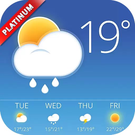
Nuts Weather, your ideal choice for knowing weather forecast & weather radar
4.70
View weather widget and map. Wind direction and speed. Tides times and waves
4.70
My Aurora Forecast Pro is the app for the Northern Lights and Aurora Borealis.
4.70
Global weather forecast, powered by layered radar & hourly weather updates
4.10
Weather watch face for Wear OS 5+
4.10
Your local weather app with storm radar, rain tracker, weather maps & AQI.
4.5


User Reviews